Chinese investors to help assess mineral reserves in Kazakhstan

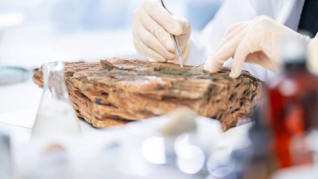
The first international full-cycle laboratory for rock analysis and mineral reserve assessment will be opened in Almaty. The laboratory is being established within the Institute of Geological Sciences named after K.I. Satpayev with support from Chinese investors.
According to Kazakh Invest, the GeoLab Eurasia geological laboratory will include two facilities: a laboratory and educational center at the Institute of Geology — scheduled to open in October 2025 — and an industrial hub with a sample preparation line and storage facility, which will be built outside Almaty in the first quarter of 2026.
The center is expected to conduct high-precision studies of ore composition and quality under international standards. The lab aims to accelerate the confirmation of mineral reserves and reduce dependence on foreign services.
The project is being implemented by Kepler Group, an AIFC-registered exploration company owned by Aigerim Rysbayeva and Adina Kunayeva, in partnership with strategic investor Eurasia Mineral Standard and the Institute of Geology.
«For us, this project is a long-term platform not only for rock analysis, but also for joint training of personnel and the exchange of best practices. This marks a historic stage where science, technology, and Kazakhstan’s development strategy converge,» said Askar Syzdykov, head of the Geological Institute.
Kazakh Invest hopes the project will represent a significant step in developing the scientific and technological base of Kazakhstan’s geology and will help boost international investor confidence.
Given Kazakhstan’s vast territory, the government has been working to better explore its national geological potential and attract international interest. Notably, the country is partnering with Xcalibur Smart Mapping, a Madrid-based global leader in airborne and mapping geophysics, to conduct large-scale mapping of its territory.
