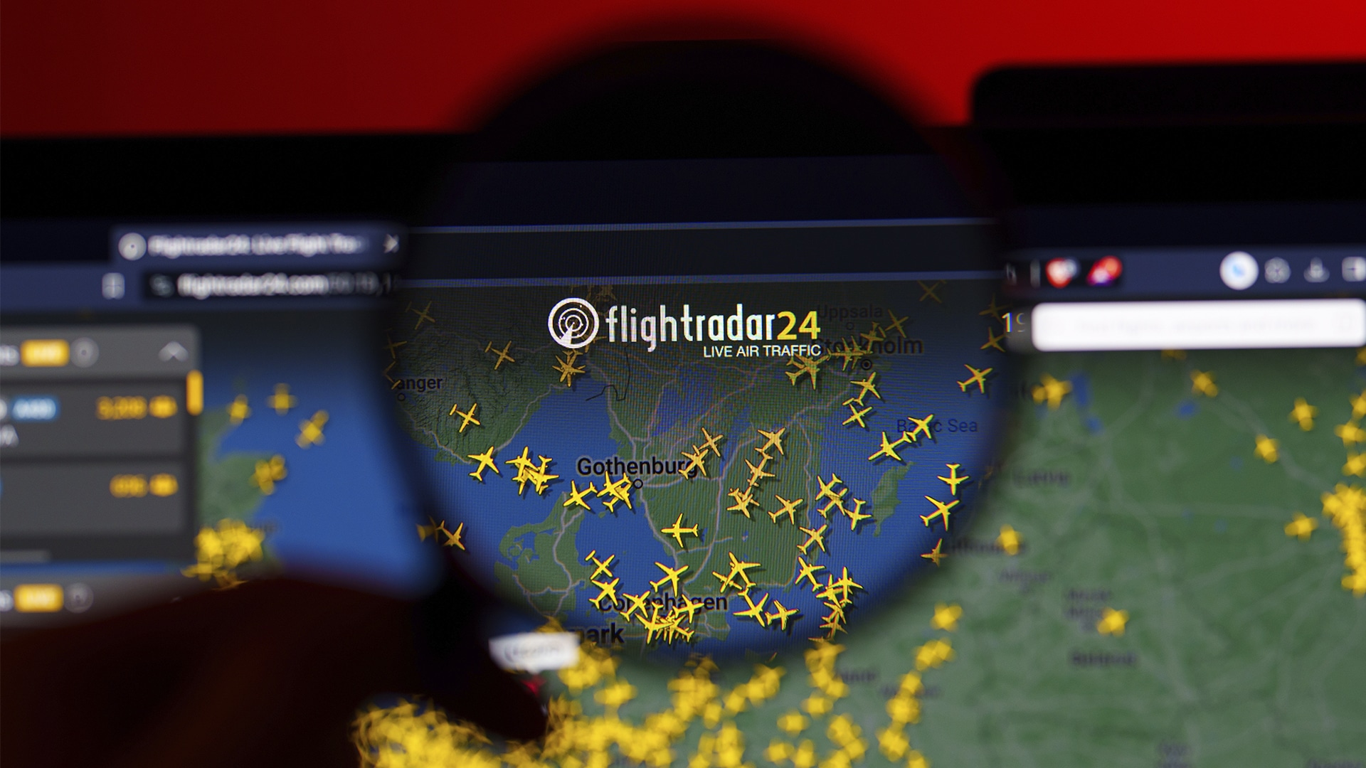
Flightradar24 reports sharp increase in visitors amid Iran conflict

Flightradar24, a popular flight-tracking service founded by Swedes Mikael Robertsson and Olov Lindberg, began as a small experiment in 2006. Although it has long been popular, the conflict involving the U.S., Israel and Iran, which caused flight disruptions across the Middle East, has turned it into a necessity, Euronews reported.
Temporary air travel restrictions have been introduced by several countries in the region, as Iran began launching missiles and drones at U.S. allies, including the UAE and Saudi Arabia, in response to missile attacks on its territory and the killing of former Supreme Leader Ayatollah Ali Khamenei.
Almost all airlines opted to reroute or cancel flights across Iran, Iraq, Israel and nearby areas. As a result, visits to Flightradar24 jumped to about 20 million in a single day, compared with the usual daily average of around 5 million.
According to Robertsson, the conflict has changed important flight routes between Europe and Asia.
«It’s really narrow because before there used to be flights over Iran and Iraq that can’t take place now… it’s just getting smaller and smaller and smaller,» he said, referring to routes over Turkey, Georgia, Azerbaijan and Armenia.
Beyond tracking active flights, Flightradar24 has also helped people understand aviation incidents. For example, its data helped redirect the search for MH370 in 2014 and altitude information from the Germanwings crash in 2015 showed the plane’s steady descent.
The service collects this data from aircraft transponders and land-based receivers around the world. Robertsson said the company receives hundreds of requests each day from people who want to host receivers and support the network. Flightradar24 also buys satellite data from a provider with 66 satellites and maintains a database of about 1.2 million aircraft.
Despite its many strengths, even a widely used system like Flightradar24 has its limits. In conflict zones, signals can be jammed or spoofed, making aircraft positions on the map inaccurate.
